
Claremont Neighbor Records by Source
A block lookup works when each source is asked one narrow question. The Assessor map supplies parcel geometry and AINs. Deeds supply selected ownership transfers. City planning and permit files show projects and participants. Voter data has a purpose restriction, and community groups choose what public contact information they publish.
| Source | What It Shows About a Block | Access |
|---|---|---|
| Assessor map and parcel detail | Parcel outlines, adjoining AINs, situs, use, values, and event pointers | Free address, AIN, and map search |
| Recorded deeds | Grantors, grantees, legal descriptions, and transfer chain for selected parcels | RR/CC copy order, counter, or viewing channel |
| Voter Street Index | Eligible registered-voter entries arranged by address | Restricted-purpose purchase only |
| Planning and permit files | Project address, applicant, contractor, hearing, and nearby-notice context | City pages or focused public-records request |
| Community contacts | Public officers, events, history, or business and college affiliation | Organization pages; membership remains private unless published |
These rows describe a block, not a complete resident roll. An owner may receive tax mail elsewhere. A mailing recipient may not occupy the parcel. A contractor, applicant, or public officer has a role in a record, not automatic status as a neighbor. Keep current, historical, institutional, and public-safety information in separate categories.
The county RR/CC real-estate record channel is the source for deed access when a map click identifies a parcel that needs ownership evidence.
Click Shared-Edge Parcels in the Assessor Map
The Los Angeles County Assessor Portal is the practical starting point for nearby Claremont parcels because it lets a researcher move from an exact address or AIN to a parcel map. Open the map, zoom until boundaries are clear, click the target parcel, and then inspect the polygons that share an edge or sit across the street. A stable public buffer or export control was not verified, so visual browsing and individual clicks are the safer method.
- Search the target address or 10-digit AIN in the Assessor Portal.
- Open map mode and zoom until lot lines, streets, and the target parcel are distinct.
- Record the target AIN, situs, use type, active status, and legal description.
- Click every shared-edge parcel and each relevant across-street parcel separately.
- Save the observation date and return to the deed or city-record channel only when a specific fact is needed.
Do not treat house numbers as a geometry rule. Curved streets, cul-de-sacs, the Village grid, campus parcels, common areas, and public rights-of-way can make numeric sequence a poor measure of adjacency.
Owner, Mailing Recipient, and Neighbor Are Different
A parcel record can support an ownership question, but it rarely identifies every person nearby. The situs is the physical parcel. A tax-mailing address identifies where correspondence is sent. A grantee is a party in a recorded transfer. An occupant, family member, student, or visitor may not appear in the property record at all.
Condominium and multifamily parcels add more ambiguity. One master parcel can contain many units, air-space parcels, common areas, or institutional buildings. A single campus address can contain several halls and offices. Public web results do not supply a complete list of those occupants, and utility, delivery, and DMV customer addresses are not public neighbor directories.
| Evidence category | Safe conclusion |
|---|---|
| Assessor parcel | Identifies a parcel, AIN, situs, and public assessment facts. |
| Deed | Identifies recorded parties and a transfer or legal interest. |
| City project file | Identifies a project participant or address-linked government record. |
| Public community contact | Identifies the contact a group chose to publish, not its private members. |
A commercial neighbor-lookup compilation can merge stale, licensed, inferred, or mismatched data. It may be a lead at most. Official evidence has a named custodian and a defined field, while a compilation may hide its source or correction path.
| Route | Useful signal | Boundary |
|---|---|---|
| Official parcel, deed, city, or eligible voter channel | Defined field, named custodian, record date, or public access rule | Does not create a complete household or neighbor list |
| Commercial neighbor tool category | May surface a spelling or address lead from mixed sources | Provenance, freshness, correction path, and lawful-use limits may be unclear |
Build a Claremont Block From AINs
Define the block before collecting names or records. A useful scope includes the target parcel, parcels that share an edge, and the frontage directly across the street. It does not need an entire ZIP code or a full city street.
- Draw the small scope and save the map date.
- List each AIN, situs, use type, and active or inactive status from the parcel view.
- Label deed grantee, assessed owner, mailing recipient, applicant, and resident as separate roles.
- Add a permit, planning notice, or voter product only when its access rules and address match are clear.
- Document exclusions such as a protected address, missing parcel, dormitory, common area, or multifamily ambiguity.
When the goal expands from the immediate block to every address on a named street, use the Claremont street directory workflow. The street view has a different scope and record chain than a neighbor lookup, so it should not be used to infer more about Claremont neighbors than the records state.
Claremont Voter Street Index: Legal Gate
California voter information is not a general public people-search database. Elections Code section 2194 allows release for election, scholarly, journalistic, political, or governmental purposes under the county’s contract and use conditions. Social Security numbers, driver-license numbers, and signatures remain confidential. A casual neighbor question does not create a general-purpose entitlement.
The county purchase route lists countywide information at $146, precinct, district, or city information at $54, and an additional file at $39. The Index to Voter, sometimes called a Street Index, is priced at $0.50 per thousand names for candidates or committees, or $0.10 per page plus $1.60 handling for the general public when used for a political purpose. The Voted Index uses a per-page charge plus handling.
The LA County voter-information request page shows the restricted product and contract route.
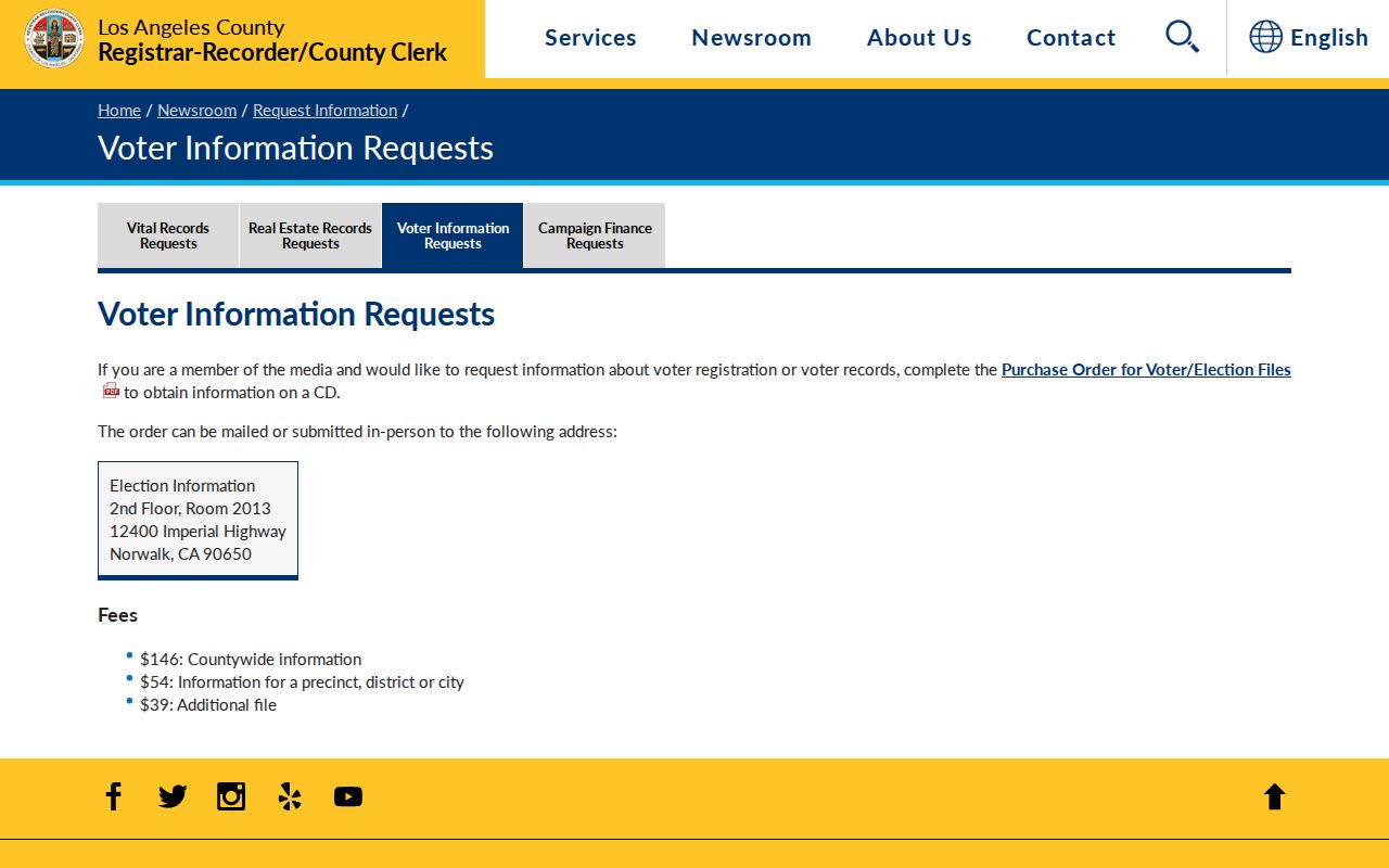
Requests go by mail or in person to Election Information, Room 2013 on the second floor at 12400 Imperial Highway, Norwalk, California 90650. The listed phone route is (800) 815-2666, option 4. Protected registrations may be omitted, so absence is not proof that a person is absent from the block.
The county voter-data fee page gives the product and fee context for eligible requesters.
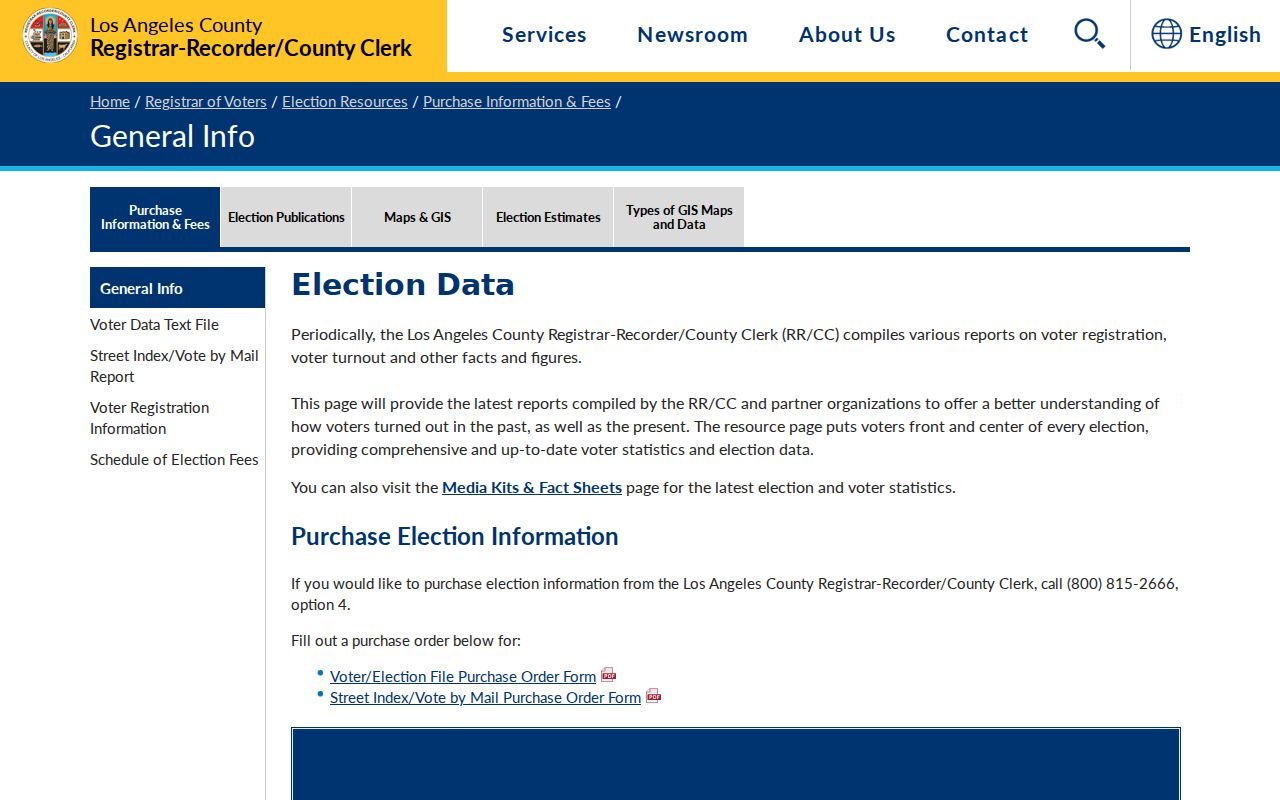
A permitted street index can be arranged by address, but it remains a purpose-limited election product, not a casual local roster.
Personal Voter Lookup, Not a Neighbor Roll
The county’s self-service election tool is for a person to check their own registration and election information. Its dynamic fields can request personal identifying information and an address or election location, then return an action such as “Check Voter Registration Status” or “Find My Election Information.” The live labels can change, and the form is not a public browse by name or ZIP.
The LA County personal voter lookup is the correct source for a self-check.
A personal lookup can confirm the submitter’s election information, but it cannot be repurposed into a neighbor list. Voter residence, mailing address, status, and participation history are distinct fields, and ballot choices are not part of the public product.
The California Secretary of State’s voter confidentiality guidance explains the permissible-use boundary.
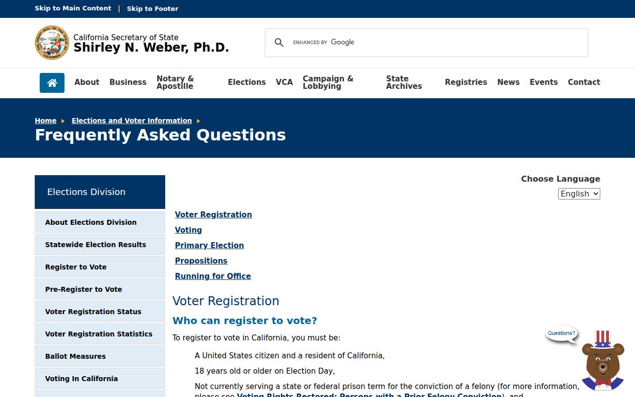
Use the state guidance to understand why a protected or missing record should not be reverse-engineered from nearby parcels, city files, or community contacts.
Claremont Public Contacts, Private Memberships
Community organizations can help identify a place, event, historic district, or public contact without disclosing a private roster. Claremont’s research points to a civic and institutional layer rather than a verified citywide list of neighborhood associations with public member directories.
| Public contact | Useful local clue | Boundary |
|---|---|---|
| Claremont Heritage | Historic structures, photographs, archives, site context, and local-history contact | Publishes chosen contacts, not private membership |
| Claremont Chamber | Business names and public business contacts | A business directory is not a household directory |
| Claremont Colleges and archives | College directories, yearbooks, organizations, faculty, and student affiliations | Institutional or academic-year evidence, not parcel inference |
| City boards and commissions | Public officers, agendas, meeting subjects, and civic participation | Use public records, not private member lists |
The Claremont Colleges collections discovery system can point to archives, yearbooks, directories, maps, and oral histories. An organization’s public officer can explain an event or boundary, but should not be asked for a private roster unless the group intentionally published one.
Campus Parcels Change a Simple Claremont Block
Large campus properties, residence halls, historic districts, former citrus tracts, and foothill parcels interrupt the idea that one address equals one household. A college directory entry may cover one academic year. A dormitory can contain many people at one institutional address. A common-area parcel can touch several homes without being a residence.
Use the map for geometry, the Assessor for parcel facts, a deed for a selected ownership question, and an archive for a person’s institutional affiliation. Do not infer student names from a parcel or treat a public college contact as a neighbor. The Village and college area also have a distinct pedestrian and institutional pattern that makes across-street geometry more useful than house-number order.
Historical blocks need a date snapshot. Pair a directory, census, map, or photograph from the same period instead of mixing a 1930 household with a later street view.
Megan’s Law: Safety Registry, Not Neighbor List
California’s Megan’s Law website is a public safety registry with name, address, map, and radius modes subject to statutory exclusions and warnings. It is not a resident roll, parcel directory, or proof that every nearby adult is listed. A profile’s location should be read only for the registry’s public-safety purpose, and identity must be checked against the details the registry actually provides.
The official California Megan’s Law search carries the public warning and use limits.
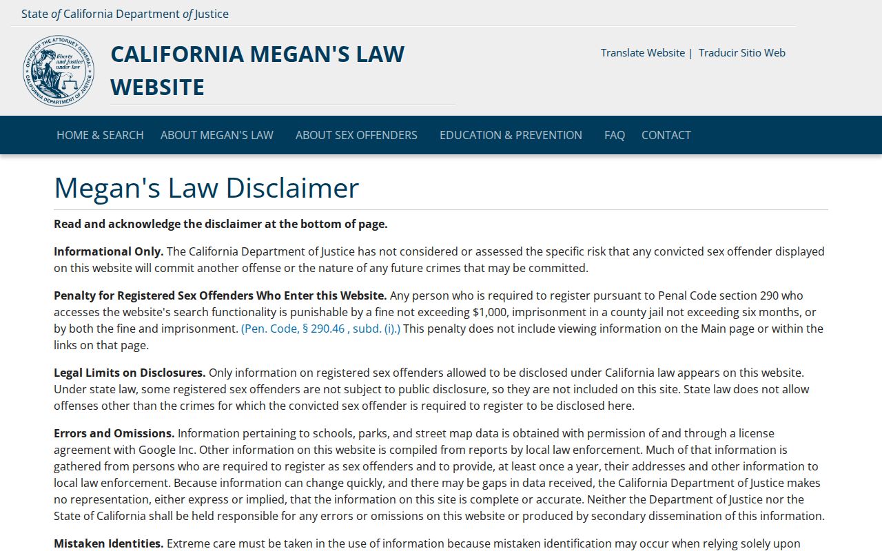
Registry exclusions and protected details mean that absence is not proof of no registration. Misuse, harassment, or intimidation can carry legal consequences. Keep this category separate from parcel, voter, deed, and community evidence.
Privacy Limits for Claremont Neighbors
Safe at Home, under California Government Code sections 6205 and following, gives qualifying survivors and specified protected people a substitute mailing address and confidential voter-registration route. Association membership, congregation rosters, block-watch lists, household members, renters, utility customers, and delivery customers are not presumed public. Protected voters should not be reverse-engineered from adjacent records.
The Secretary of State voter-registration information describes confidential registration and Safe at Home details.
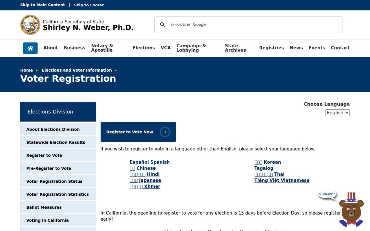
The privacy boundary applies even when a block map is easy to inspect. Record only the public fact needed for the task, preserve the observation date, and stop when the next step would expose a protected address or private roster.
Lawful use. Claremont neighbor lookups are for understanding a block, reconnecting, civic curiosity, and personal safety awareness. Do not use records to watch, stalk, harass, intimidate, or harm anyone.
For a broader named-street question, use the public records channel that fits the record and keep the request narrow. A block map can show relationships among parcels, but it cannot authorize a private people list.
Note: A missing protected address can reflect confidentiality, not an empty parcel or a missing neighbor.