
Trace a Claremont Street Directory Trail
A street-by-street search starts with the exact address as it is written today. Run it through the Los Angeles County Assessor Portal and save the AIN, situs, legal description, parcel status, and event history. The event row can point to a recording date and document number. That pointer leads to the RR/CC deed or other recorded instrument. Ownership is a recorded interest, not proof of current occupancy, so a lawful voter route or a dated directory must answer a different question. Map mode then helps collect nearby parcels one at a time.
Historical work needs an extra check. Claremont began as an 1887 railroad townsite and later expanded over former citrus land. A modern number may not match an early number, street spelling, tract, or parcel. Keep the current AIN and legal description beside any older map or directory entry. The result is a chain that can be checked and dated, rather than a guess based on nearby numbers.
- Normalize the address while retaining any historic spelling or number variant.
- Search the Assessor by address or AIN and record the parcel fields and event pointer.
- Use the latest recording date and document number to request the deed or recorded instrument from RR/CC.
- Use the voter self-check for the person who submits it, or a permitted Street Index request when the legal purpose qualifies.
- Check a reverse directory, census, yearbook, or newspaper for a dated past household, then label the result as occupancy evidence.
Claremont Assessor Search: Address to AIN
The public Los Angeles County Assessor Portal is the first address tool in a Claremont parcel workflow. It accepts an exact address or a 10-digit AIN, and map mode opens parcel detail. Detail can show situs, legal description, use, status, exemption, land and building facts, values, and event history. The event row can display recording date, document number, type, and reason even when the unrestricted result omits the owner's name.
| Field label | Type | Required | Format or use |
|---|---|---|---|
| Search by AIN or Address | Autocomplete or text | One search key | Use the 10-digit AIN or street address, then select the match. |
| Map Search | Map mode | No | Pan, zoom, and click a parcel or a nearby polygon. |
| Assessor Internet | Linked service | No | A secure or legacy service may require registration. |
| Show Re-Assessable Only | Checkbox | No | Filters event and roll rows. |
| Hide Inactive Rolls or Show All | Checkbox | No | Changes which assessment rows are displayed. |
A blank owner field is a visibility limit, not a dead end. Alternatives include the secure Assessor service, office inquiry channels, tax bill, deed index, or another lawful channel. Save the AIN and legal description. An exemption supports owner occupancy only when its type and tax year are known; it does not create a complete address list.
The county Treasurer and Tax Collector resources can add tax-bill, payment, default, or tax-sale context when the property question is about the parcel rather than a named household.
Tax records can support a parcel trail, but a mailing recipient and an occupant remain separate roles.
Claremont Parcels on the Assessor Map
Map mode is the safest way to find parcels along a Claremont street. Enter the address or AIN, open the map, and zoom until boundaries are clear. Click the target, note AIN and situs, then click shared-edge and across-street parcels. Numeric order is not enough. Curves, cul-de-sacs, institutional land, common areas, condominiums, and rights of way can break the assumption that consecutive numbers are next door.
The map supports adjacency and parcel navigation. A stable published list of every layer, buffer tool, or export control was not verified. Use individual outlines and detail links. Save use type, status, legal description, and observation date for each click. A campus or master parcel can contain many units.
The LA County Assessor map search provides the parcel view used for this street-by-street method. For a person-specific question after the parcel work, use the separate resident lookup route instead of turning a map into a name list.
Claremont Address Records Along a Street
Several public record sets can be read by address, but they do not describe the same person. The Assessor starts with the parcel, RR/CC with recorded parties, City files with a project, an eligible Street Index with a permitted registration product, and a reverse directory with a historic street number. The table keeps the roles visible.
| Address record | Keeper | What it shows | Access |
|---|---|---|---|
| Assessment parcel | Los Angeles County Assessor | Situs, AIN, legal description, characteristics, values, event pointers | Free portal; owner channel varies |
| Recorded deed or lien | RR/CC | Grantor, grantee, transfer data, legal description, recorded instrument | Index, viewing, counter, copy order |
| Tax bill evidence | Treasurer and Tax Collector | Tax mailing and payment facts | Official tax resources or request |
| Parcel map or subdivision | Assessor, Recorder, or City | Lot, block, tract, geometry, and recorded map context | Portal, map, or copy route |
| Permit or planning case | City of Claremont | Applicant, contractor, project scope, hearing, or work dates | Department inquiry or CPRA request |
| Reverse directory | Library or archive | Dated occupant, phone, or address sequence when held | Catalog, reference, or supervised use |
The parcel or legal description bridges land records, not every household member. A permit can identify an applicant or contractor, not the owner. A historical directory can place someone at a street number, but the exact Claremont run is not cataloged. Keep each row as a separate evidence layer.
Claremont Deed Records by Document Number
The Assessor recording date and document number are the practical bridge to the Recorder. Open the parcel event history, copy the document number, date, type, and reason, then search or request the recorded instrument through the RR/CC path. The online copy page delegates ordering to LexisNexis and states a 20-working-day processing statement. Index and viewing work is also available at county facilities, and the Recorder contact page supplies phone and email routes. Ask for the number and type of copy, and confirm the current charge before paying.
Along a street, repeat the process parcel by parcel. A deed chain goes from the newest grantee to the prior grantor, then searches that prior owner as an earlier grantee. Match legal description, AIN history, tract, and document context. A trust name may differ from the familiar name. A deed of trust records financing, while a reconveyance releases a security interest. Neither document alone identifies a person who lives at the parcel.
The RR/CC real-estate viewing route is the documented counter and index alternative to an online copy order.
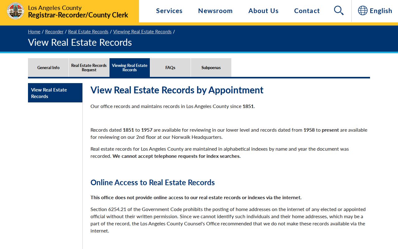
Viewing instructions make the document number a handoff from an Assessor event row to the county record.
The RR/CC copy-request route supplies the online ordering channel and current processing guidance.
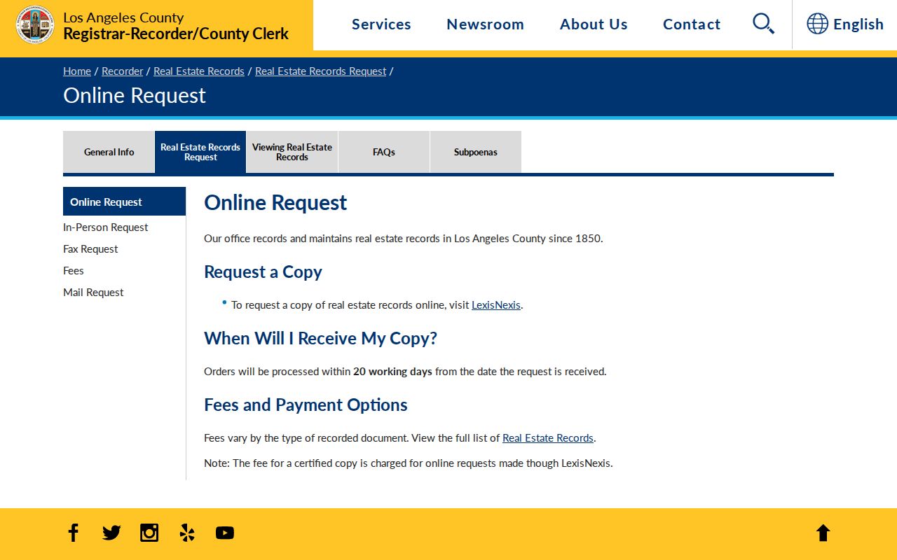
A viewing visit and a copy order are separate access paths, so choose the one that matches the research task.
Situs, Mailing Address, Plat, and Parcel Terms
Address research fails when one word carries every meaning. Keep the source labels when a screen uses both a physical location and a mailing destination. These terms describe a Claremont address trail.
- Situs address
- The physical location assigned to the taxable parcel. It identifies where the land sits, not every person who uses it.
- Mailing address
- The destination for a tax bill or other correspondence. It can belong to an owner, trust, business, agent, or PO box.
- Parcel
- A legally tracked piece of land with an AIN, boundaries, and a legal description. One address can relate to more than one legal parcel.
- Plat
- A recorded map that places lots, blocks, tracts, streets, or subdivision geometry in a legal context.
- Criss-cross directory
- A reverse directory arranged by street and house number, with an occupant or telephone entry when the volume includes one.
For older Claremont work, compare current situs and AIN with a townsite or subdivision map and Sanborn sheet. Keep historic street forms; a legal description can preserve continuity when a label changes.
Claremont Permits and Planning Files
City records add a project layer to street-by-street research. The Building Division and Community Development pages route users to permit, planning, zoning, and development information. A stable anonymous permit database with a fully exposed field list was not located. The practical fallback is an inquiry or a narrow City Public Records Act request that names the address, parcel if known, permit type, project subject, and inclusive years.
Ask for existing permit applications, permit cards, inspection chronology, final approval, planning applications, hearing records, or code orders when those records exist and are releasable. A file may show an applicant, contractor, scope, valuation, dates, status, owner, or correspondence. Personal telephone and email, copyrighted plans, security details, complainant information, and active enforcement material can be redacted. A permit date establishes building activity, not a move-in date or a complete household.
Use the Claremont Building Division, Community Development, and City Clerk request route for the channel that fits the file.
Claremont Voter Street Index Rules
California does not make the voter roll a general street list. A person can use the county self-service voter and election lookup to check their own information. A separate voter file or Index to Voter request requires a qualifying election, scholarly, journalistic, political, or governmental purpose, a contract, an authorized signature, and payment. The county purchase route and price sheet cover countywide, city, district, precinct, Street Index, and Voted Index products.
The request can be mailed or delivered in person to Election Information, second floor, room 2013, 12400 Imperial Highway, Norwalk, with the county's documented phone option at (800) 815-2666 option 4. A permitted Street Index may be arranged by address, but it is not a casual neighbor list. Social Security numbers, driver's-license numbers, signatures, and protected registrations remain confidential. Participation history shows whether a person was credited as voting, not how that person voted.
A mismatch can reflect an update delay, move, inactive or cancelled status, address formatting, or protected status. It cannot safely prove that a named person is absent from a Claremont street.
Reverse Directories for Claremont Past Households
Historical reverse or criss-cross directories invert the usual name-first search. A street number leads to an occupant, telephone entry, or cross-reference when the volume includes one. Research sources place city directories and reverse directories in the LA County Library Californiana Collection and the Claremont Colleges Library, but the exact Claremont publisher and year runs were not exposed in the public overviews. Ask reference staff for regional Pomona Valley or Los Angeles directories too, because a title may omit Claremont even when its streets appear inside.
Record the title page, copyright year, geographic scope, canvass date, alphabetical section, street section, business section, and abbreviation key. Ask the LA County Library Californiana Collection or a TCC repository about regional volumes. Compare nearby numbers and the legal description from a parcel or map. An absent name can mean a missed canvass, an unlisted phone, a student or institutional household, a cutoff date, a spelling convention, a missing page, or a volume gap. Two or three consecutive editions are stronger than a single absence. The historical shelf is treated in full on the Claremont city directory collections page.
The 1887 Claremont Street Grid
Claremont's address trail began with the Pacific Land Improvement Company's 1887 railroad townsite, then spread through citrus tracts, subdivisions, campus parcels, foothill areas, and postwar development. A failed hotel scheme became tied to Pomona College after its move in 1888. That history matters because a modern street number may sit on land that was once part of a different tract or institution. A map, plat, legal description, and Sanborn sheet can explain a gap that looks like a missing household.
No authoritative citywide street-renumbering year was located, so the record trail should not claim one. Preserve historic names and numbers, compare the 1888 townsite material where available, and note when a current parcel was created or split. Postwar growth peaked at more than 1,500 added residents annually during 1960-1965, replacing citrus land with new residential and commercial parcels. Assessor events, permits, maps, directories, and newspapers may therefore begin at different points.
What a Claremont Street Directory Cannot Show
No public source creates a complete list of everyone at a Claremont address. The property roll may omit the owner name on the unrestricted web display and does not list every non-owner household member. A deed identifies recorded parties, not current occupancy. DMV and utility customer information is closed under federal and California privacy rules. A city file can name an applicant or contractor, but it does not turn a project record into a household roster. A reverse directory may be incomplete, historical, or limited by telephone listing practice.
Use a source only for the role it documents. Label an owner, grantee, mailing recipient, applicant, voter entry, historical occupant, or nearby parcel separately. If a record is missing, consider a privacy flag, a collection gap, a wrong jurisdiction, or a different address concept before assuming a person moved or never lived there.
Lawful use. Claremont address and street records support personal, lawful research. Do not use them to stalk, harass, intimidate, or harm a person, and do not try to defeat a protected-address or voter-confidentiality rule.